Longstanton and District Heritage Society & Northstowe
‘District’ is defined as consisting of Northstowe and the village of Oakington and Westwick. Of course, when LDHS was set the new town did not exist but it was destined to be built on the parish lands of Longstanton and Oakington and Westwick, which included the former Oakington Airfield so the name chosen by local residents at the Inaugural Meeting held in May 2007, facilitated the inclusion of Northstowe once the new town began to be built. The term ‘District’ can also include the area associated with the South West Fen Edge and our local tracks and by-ways, so the interactions between local communities can be properly understood. No local village or community acted in isolation from each other so consideration of the surrounding area when investigating heritage is vital.
The SW Fen Edge north of Cambridge is a unique and important area of Cambridgeshire with Roman Archaeology, ancient ports and causeways providing links to both local communities and beyond. Northstowe is ideally placed to act as a Heritage Hub for the town and the surrounding villages of the SW Fen Edge and we hope that all our communities can work together to make this happen one day.
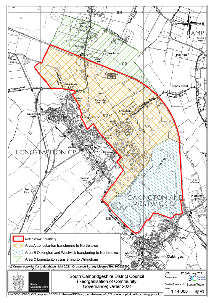
Below is a map showing the boundary of Northstowe following the Boundary Review of 2021. We thank SCDC for allowing us to reproduce this map on our website so that the information we provide is as accurate as possible.