Once we have uploaded details of the last major battle of Normans v Saxons we will then give more detail of some of the tracks that William the Conqueror and Hereward the Wake used in the run-up to that final conflict.
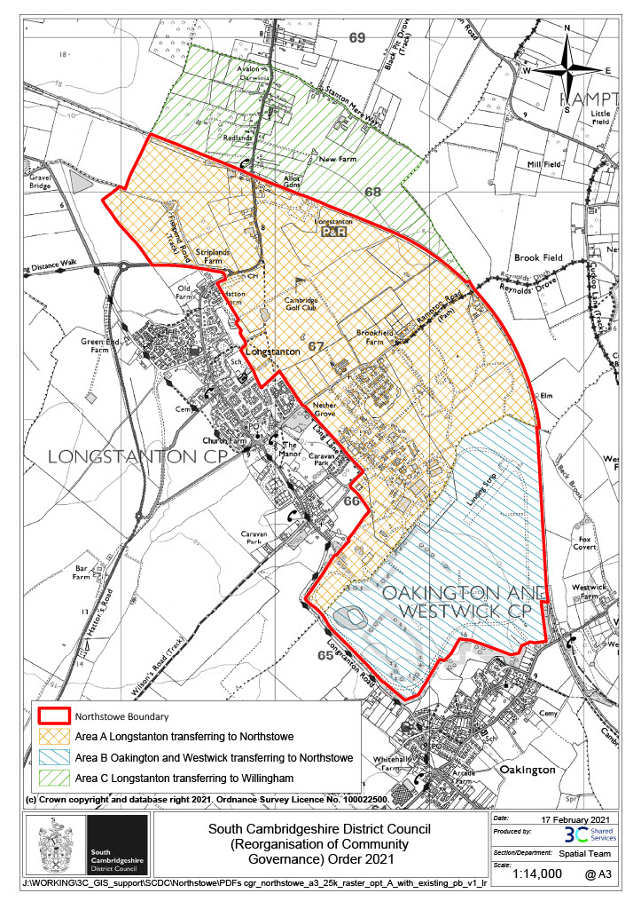
Approaching Ely from the south it is believed that William probably used the track that runs from Histon to Westwick. The track then crosses the road from Oakington – Cottenham and heads towards Rampton. Avoiding the current village the track in William’s day probably headed straight towards Belsar’s Hill. On the map the current track comes out in Rampton and it is necessary to walk along the road (with great care!) towards Willingham before re-joining the track to Belsar’s Hill. However, I know that a new track was created as part of the Northstowe project, which might mean that the road part is no longer required. The new track starts on the Longstanton – Rampton track, near the Guided Bus-way on the Rampton side. It comes out I believe near the sharp S bends on the Willingham – Rampton Road. I haven’t walked it all – so if this is not right please let me know. If anyone does take this walk perhaps you can let us have some pictures and a detailed description of the route.
From Longstanton this ancient track can be accessed by taking the bridleway to Rampton that starts near Brookfield Farm. The track from Longstanton – Rampton is possibly another ancient route giving Longstanton good access to the network of tracks that crossed the area. The history and origins of these trackways is not fully understood but it is certainly of interest to many landscape historians. Fully understanding the history and origins of this network of tracks will help develop our understanding of our villages and their context within the local landscape. One day perhaps some of the questions raised by these trackways will be answered.
The tracks that exist today are certainly very different in appearance from William’s time; and the river today at Aldreth High Bridge is a shadow of what it would have been at the time of the battle. Standing there is amazingly evocative as one images Norman and Saxons forces facing each other here. Harder to imagine is what it must have been like when the causeway collapsed – drowning significant number of William’s most elite Knights.
Important Note:
LDHS cannot accept responsibility if anyone takes one of the walks described or for any errors or omissions that may occur in the information or descriptions. If any information is incorrect please do let us know. A current OS map and correct footwear is recommended. Many of the paths pass through privately owned farmland so staying on the footpath / bridleway and closing gates is essential. Please make sure that cars are parked legally and responsibly and not on private land. LDHS does not wish to upset any local landowners by encouraging a nuisance. If our information on these historic local tracks causes problems it may have to be removed from the website.
Thank you for your cooperation.
